

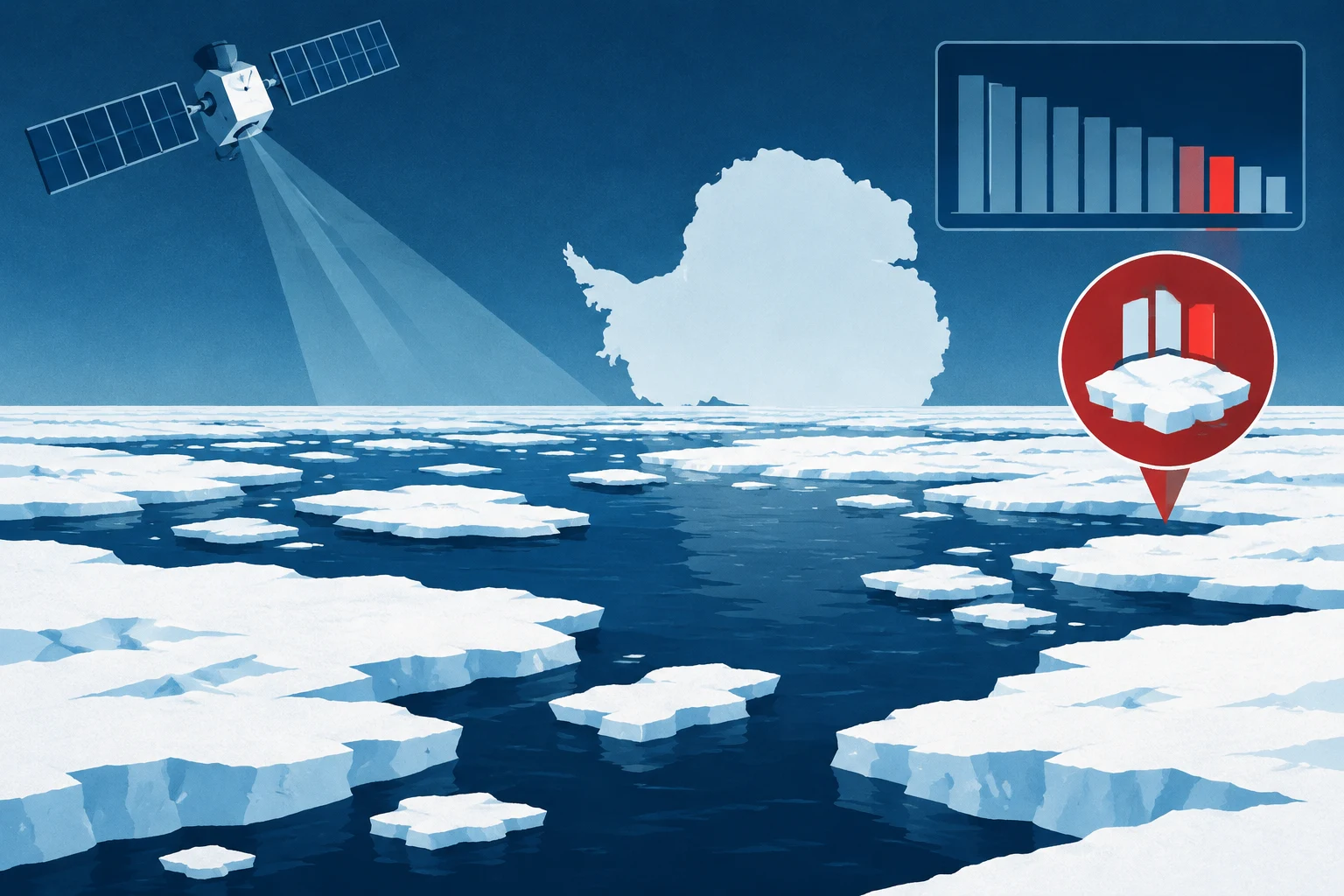
Antarctic sea ice likely reached its annual maximum on September 14, 2026, spanning an estimated 17.59 million square kilometers (6.79 million square miles), according to NASA and the National Snow and Ice Data Center. The measurement was the third-lowest maximum since satellite monitoring began, NASA reported October 12.
Sea ice around Antarctica typically reaches its greatest extent in September, near the end of the Southern Hemisphere winter, and contracts toward a February minimum. The continent’s surrounding ocean gives winter ice room to spread, while its reach into warmer latitudes contributes to summer melting.
The satellite record began in late 1978. NASA says Antarctic sea ice increased by about 1 percent per decade from 1979 through 2014, though year-to-year variability made the significance of that trend uncertain. Three consecutive annual winter records were set from 2012 to 2014. The increase ended in 2015, with substantial declines beginning in 2016.
Both the lowest recorded annual maximum and minimum occurred in 2023. NASA says Antarctic sea ice has generally remained below normal since the declines began, despite some years of modest recovery. Scientists are continuing to monitor the ice to determine whether the pattern signals a lasting change or reflects statistical variation.
Satellite instruments measure naturally emitted microwave energy, which differs between sea ice and open water and can be detected through clouds. The data used for NASA’s report came from the National Snow and Ice Data Center.