

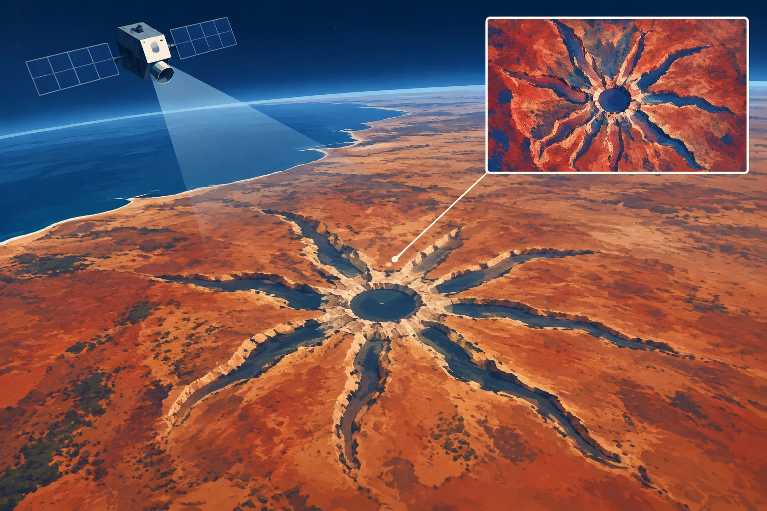
NASA’s Earth Observatory published an image of Spider Crater in Western Australia, a large impact structure whose central ridges form a spiderlike pattern. The image was captured Sept. 20, 2026, by the Operational Land Imager aboard Landsat 9, a NASA and U.S. Geological Survey satellite.
The oval structure measures about 13 by 11 kilometers, according to NASA. Its central pattern spans roughly 4 kilometers. NASA reports that geologists interpret the ridges as remnants of a central uplift, formed when the crater floor rebounded after the impact. The light-colored ridges are sandstone that resisted erosion as surrounding layers wore away.
The feature’s origin was debated for decades, with some scientists proposing a volcanic explanation. NASA says field research later identified shatter cones—fan-shaped fractures associated with intense shock waves—as evidence of an impact. Such fractures are widespread in the structure’s central dome.
Researchers have also studied shocked quartz and zircon crystals from the sandstone. Those analyses may help reconstruct the impact’s angle, but its date remains uncertain. Estimates based on regional rocks put it between about 600 million and 900 million years ago, in the late Precambrian.
The NASA Earth Observatory report was published as the answer to the site’s October puzzler. The image was credited to Michala Garrison using Landsat data from the USGS; the story was written by Lindsey Doermann.