
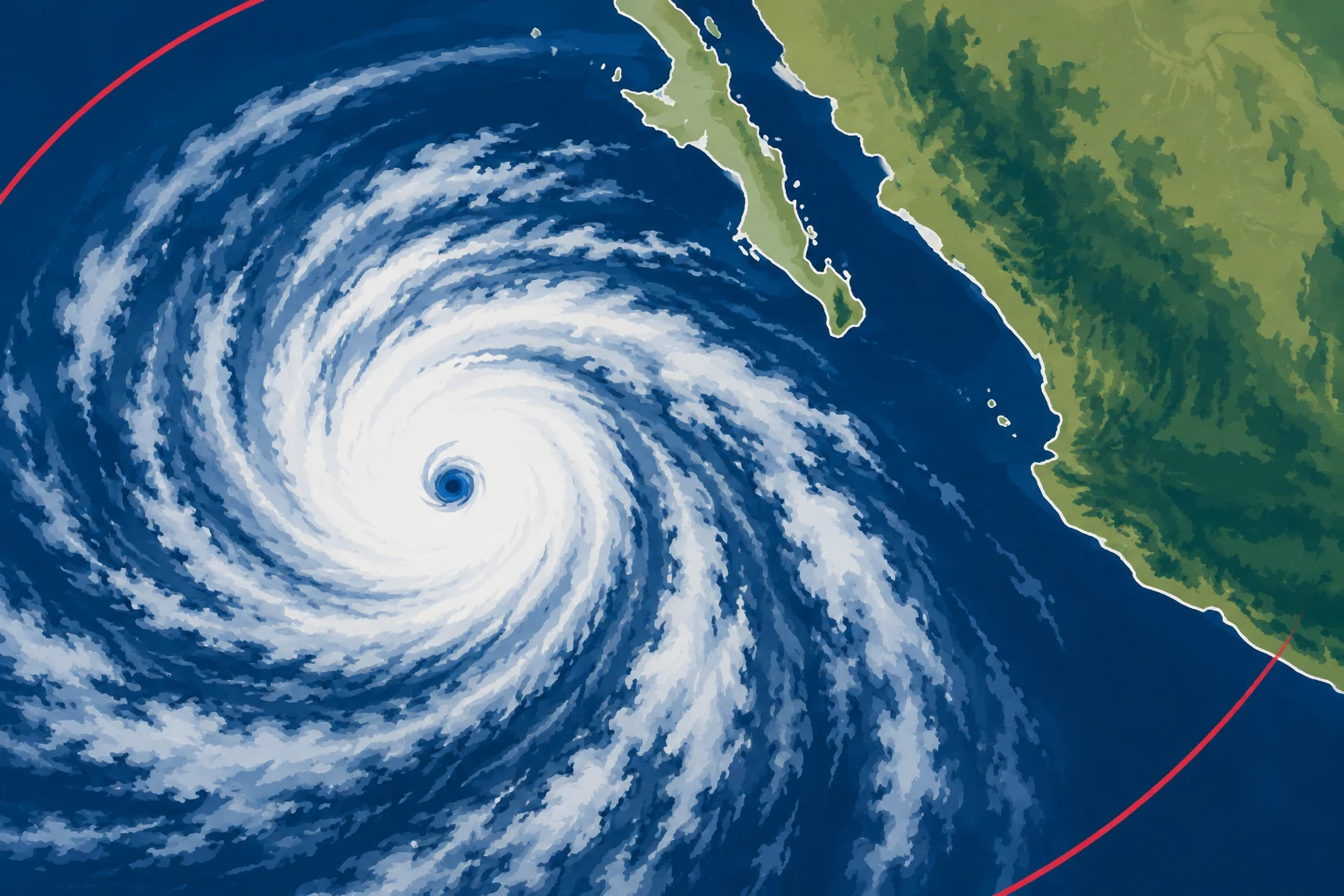
NASA Earth Observatory published satellite images of Hurricane Simon as it moved near Mexico’s Pacific coast on Oct. 11, 2026. The images, acquired by instruments aboard the Suomi NPP and NOAA-21 satellites, show the storm and atmospheric waves associated with it.
NASA reported that Simon passed close to the coast as a Category 4 hurricane, with sustained winds reaching 155 mph during its north-northwestward movement. At about 2:30 p.m. local time, the storm’s eye was roughly 30 miles offshore between Manzanillo and Puerto Vallarta. The National Hurricane Center put sustained winds at about 130 mph at the time of the image and said Simon’s inner core was brushing the coast.
The NASA account said the storm brought heavy rain and flooding to coastal areas, including Manzanillo, and increased mudslide risk in mountainous locations. It attributed those impact details to news reports. The National Hurricane Center noted that the Sierra Madre terrain appeared to weaken the storm somewhat and reduce the extent of its wind field.
A separate nighttime satellite image showed gravity waves radiating from the hurricane. NASA explained that strong storm-related convection can send waves into the upper atmosphere, where they may appear as ripples in airglow. The agency said limited moonlight helped make the airglow more visible in this image.
As of the morning of Oct. 13, forecasts for Simon’s path and intensity remained very uncertain, according to NASA’s account. The storm could move north into the Gulf of California before making landfall. Dangerous swells were also expected along parts of Mexico’s southwestern and west-central coasts in the following days. These were forecasts reported at that time, not confirmation of later conditions.