
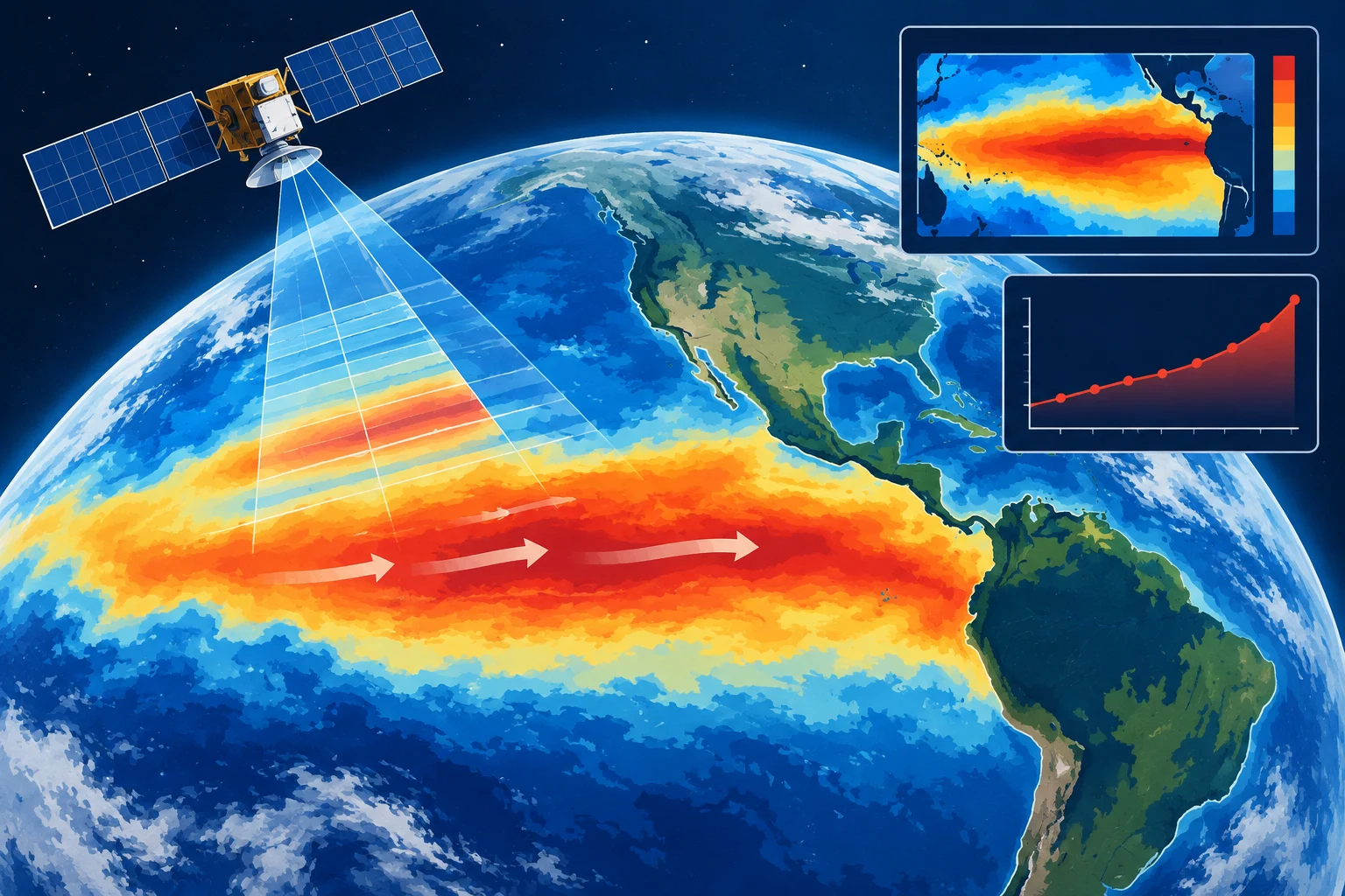
NASA is using several satellite data sets to follow the 2026 El Niño, tracking changes in ocean temperature, sea height and color across the Pacific. The agency describes the pattern as a periodic warming of parts of the equatorial Pacific that can alter trade winds, redistribute ocean heat and shift rainfall patterns. It typically develops every two to seven years.
In October, the National Oceanic and Atmospheric Administration estimated an 83% chance that the event would be the strongest El Niño since 1950. That is a probability, not a confirmation that the record has been set. NASA’s report says the effects are being felt in different ways by people including farmers, firefighters and coastal communities, but does not detail specific impacts or locations.
NASA’s satellite record traces an early signal to January, when a pulse of warm water known as a Kelvin wave was observed near Micronesia in the western Pacific. These long-moving waves carry heat eastward. As the ocean warms, air above it rises and pressure patterns shift, weakening or potentially reversing the trade winds that normally blow from the Americas toward Asia. NASA describes this sequence as part of the development of El Niño.
By early April, the waves had reached the eastern Pacific and sea surface temperatures had started rising. According to NASA’s account, the warmer water expanded, contributing to sea levels as much as 1 to 1.3 feet higher in some areas. Higher-than-average water moved toward South America and north along the coast to California, while sea levels around Indonesia and northern Australia were 6 to 8 inches below normal.
Sentinel-6 satellites measure ocean height approximately every 10 days, using radar altimeters. NASA says satellite altimetry has provided a continuous record of ocean height since 1993. The satellite measurements work alongside NOAA sensors and buoys that collect data in the water.
Temperature readings offer another indicator. NASA reports eastern Pacific surface waters are about 3 degrees Fahrenheit, or 1.7 degrees Celsius, warmer than the long-term average. Josh Willis, a sea-level missions project scientist at NASA’s Jet Propulsion Laboratory, said temperatures could rise further in the coming months. NASA’s visualizations draw on satellite instruments as well as buoy and ship measurements.
The agency is also monitoring ocean color with the PACE satellite, launched in 2024. Its Ocean Color Instrument measures light across hundreds of wavelengths, allowing researchers to observe shifts linked to phytoplankton, microscopic organisms at the base of the marine food web. NASA says equatorial Pacific waters that are usually greener have become bluer in recent months, a change consistent with fewer phytoplankton.
The report explains that El Niño’s weaker trade winds reduce the upwelling of cold, nutrient-rich water. With fewer nutrients reaching the surface, phytoplankton can decline, potentially affecting marine species that depend on them and prompting changes in feeding areas. Matthew Kehrli, a lead research scientist with the PACE team at NASA’s Goddard Space Flight Center, said the current event is the first El Niño observed by PACE since the satellite began operating.
NASA says it will continue monitoring the event with its Earth-observing satellites. The agency’s report presents the observations as evidence of an evolving climate pattern; the NOAA estimate about its potential strength remains probabilistic.