
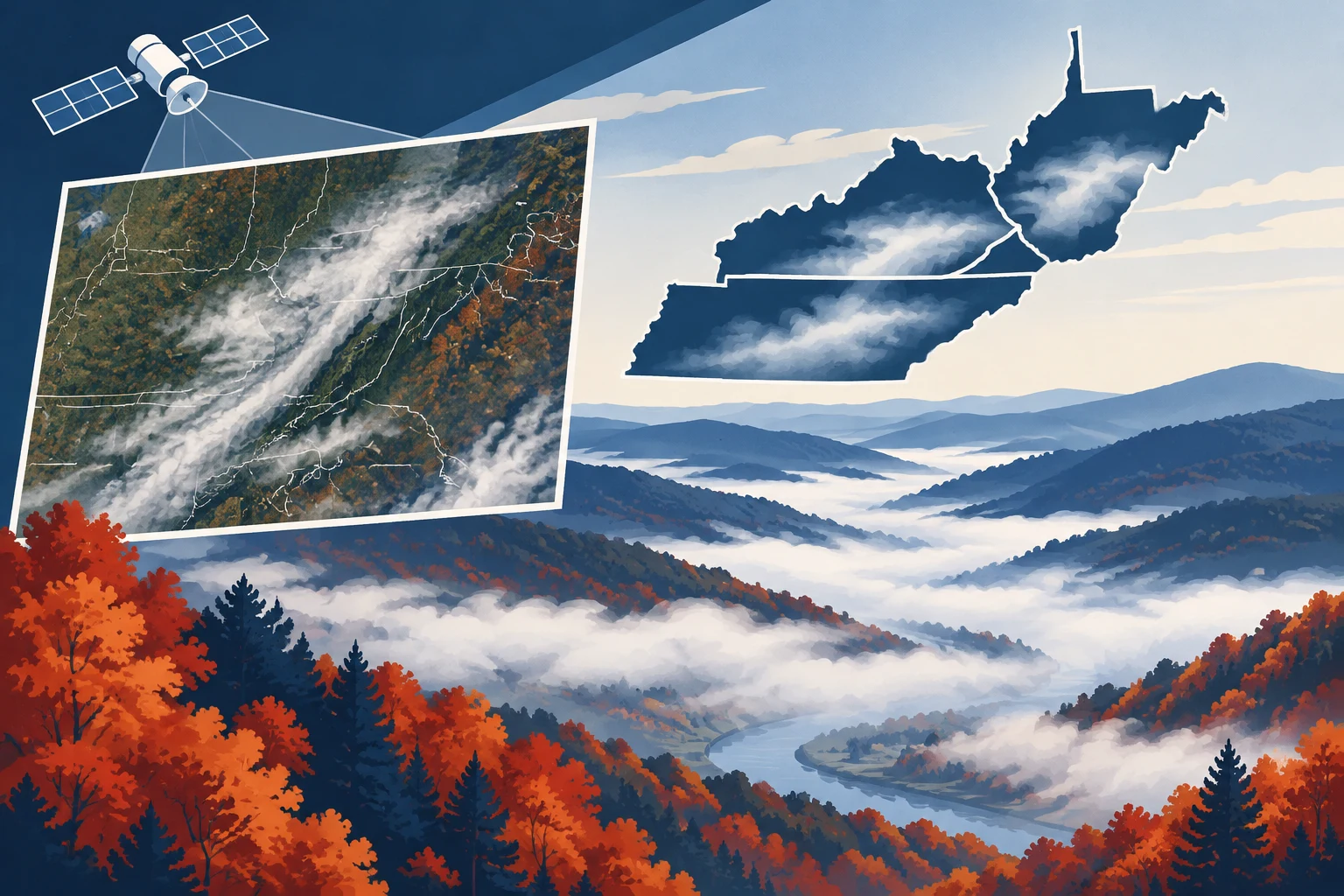
NASA satellite images documented fog across parts of the Appalachian Plateau and the Cumberland River region on the morning of Nov. 8, 2026, with a second image showing clearer conditions later that day. The images show low clouds following the landscape’s branching valleys before fading by afternoon.
The morning image was collected by the Moderate Resolution Imaging Spectroradiometer, or MODIS, aboard NASA’s Terra satellite. The natural-color view shows the clouds as white against brown and green autumn terrain. The later image came from the Visible Infrared Imaging Radiometer Suite, or VIIRS, on NOAA-21. In that false-color image, water appears dark blue and vegetation bright green, making rivers and lakes more visible after the fog cleared.
NASA Earth Observatory described the low clouds as fog, which forms near the ground. It explained that longer autumn nights give the surface more time to lose heat. Air close to the ground can then cool to its dew point, the temperature at which water vapor condenses into the small droplets that make up fog.
The terrain helps determine where the fog settles. Cold air is denser than warm air and tends to flow downhill, collecting in valleys. Rivers and streams along valley floors can add moisture to the air. NASA’s images show the effect across parts of eastern Kentucky and southwestern West Virginia, and along the Cumberland River and its reservoirs in north-central Tennessee and south-central Kentucky.
The National Weather Service reported that temperatures in many locations on the morning of Nov. 8 fell into the 30s Fahrenheit before a mild, sunny afternoon. Forecasters also reported locally dense valley fog that morning. Earlier in the week, dense fog had affected a broader area and led to advisories warning of hazardous travel conditions, according to NASA’s account.
The two images were acquired by different instruments and satellites, one in the morning and the other in the afternoon. They therefore provide a visual comparison of conditions across the day, rather than a single image sequence from one instrument. NASA credited the images to Lauren Dauphin and said they used MODIS and VIIRS data distributed through NASA’s Earth-observation systems and the Joint Polar Satellite System.
NASA’s explanation describes a seasonal process: overnight cooling, valley topography and nearby water combine to favor fog formation during autumn mornings. In this instance, the fog was visible over a multistate region before dissipating as the day warmed and skies cleared.